Follow Sayeishaa on LinkedIn today to learn more about how sayeishaa enables excellence.
Follow Sayeishaa on LinkedIn today to learn more about how sayeishaa enables excellence.
Our goal then and now is to provide quality on time projects

Our goal then and now is to provide quality on time projects

Our goal then and now is to provide quality on time projects

We are a multidisciplinary team of experts at the forefront of spatial technologies and the built environment. We seamlessly integrate remote sensing, GIS, IT solutions, LiDAR and photogrammetry, architecture, BIM, structural, and fire protection expertise to deliver innovative and comprehensive solutions for our clients. From initial data capture to final design and construction, we provide a complete, end-to-end service.
Learn MoreFind out what you like doing best and get someone to pay you for doing it.

 REMOTE
SENSING
REMOTE
SENSING BIM
BIM IT (Web and App
Development)
IT (Web and App
Development) ARCHITECTURE
 GIS
GIS STRUCTURAL
 LiDAR AND PHOTOGRAMMETRY
 FIRE PROTECTION
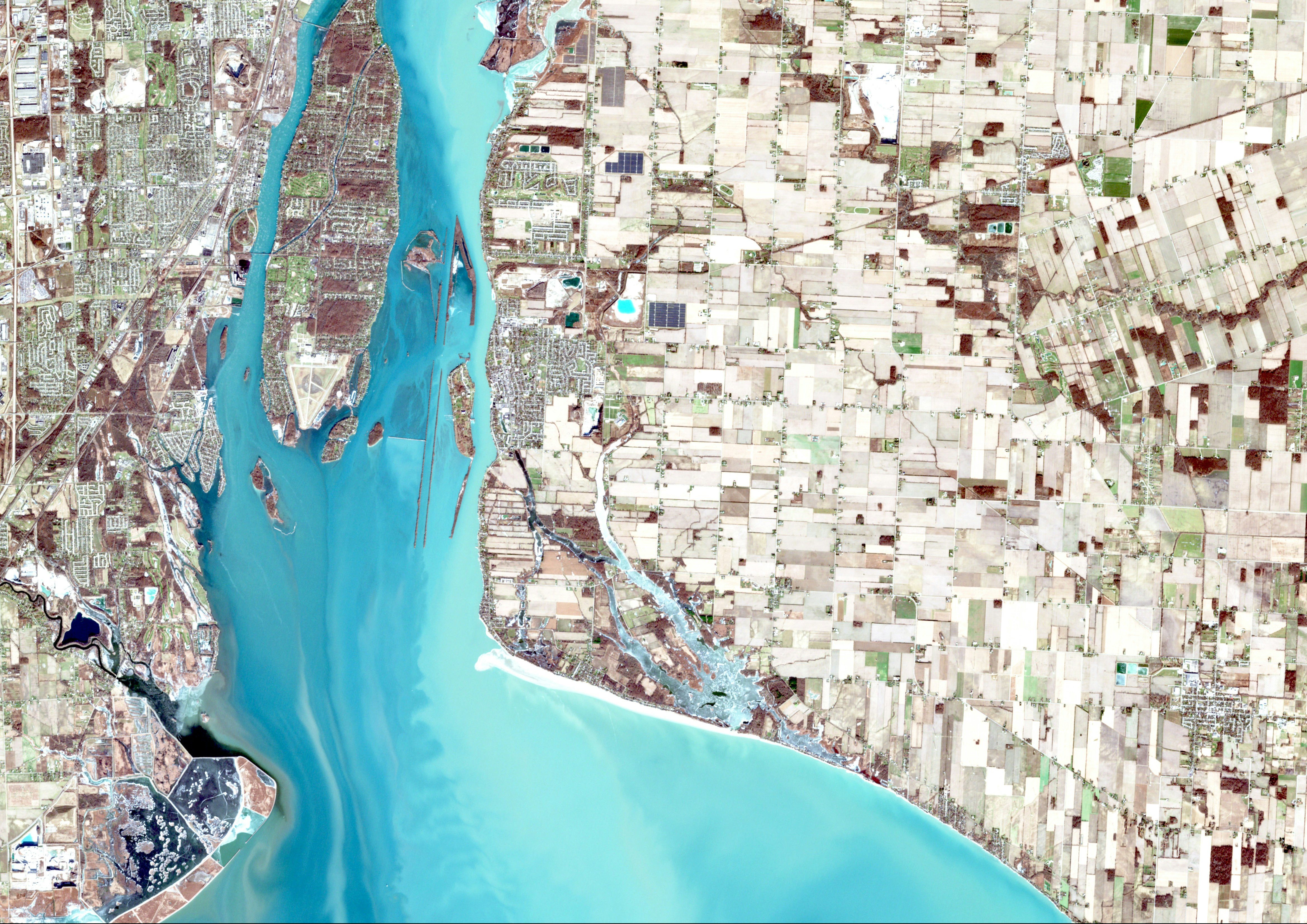
Urban planning, the intricate process of designing cities for sustainable, efficient, and liveable environments, has found a crucial role in Geographic Information Systems (GIS).

GIS creates and manages digital map with various layers of geospatial data, supporting navigation through roads, landmarks, and points of interest.

Navigation solutions for better safety and driving experience. SAYEISHAA is an end-to-end service provider in the mapping and navigation geo-content space with the right mix of on-site and off-site teams.

Description of Event 1.

Description of Event 2.

Description of Event 3.
"This company has been a game changer for our business. Their dedication and expertise are unmatched!"
"Exceptional service! The team goes above and beyond to ensure our satisfaction every time."
"I highly recommend their services. They truly care about their clients and deliver great results."
"Their attention to detail and customer-first approach is commendable. We are extremely satisfied!"
"Working with this team has been a pleasure. They always deliver on time and exceed expectations."
CLIENTS
PROJECTS